




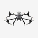
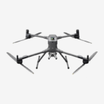

- Description
- Specification
- In The Box
- FAQ's
- Reviews (0)
Description
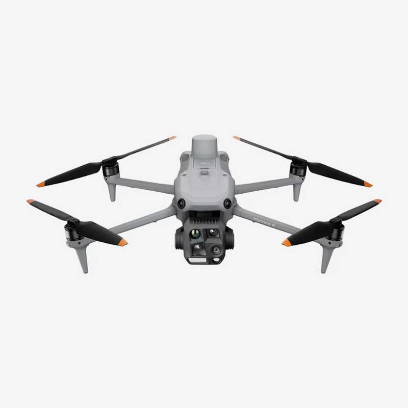
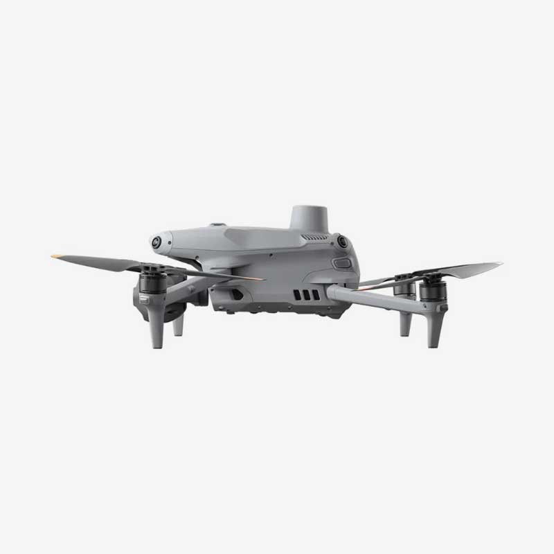
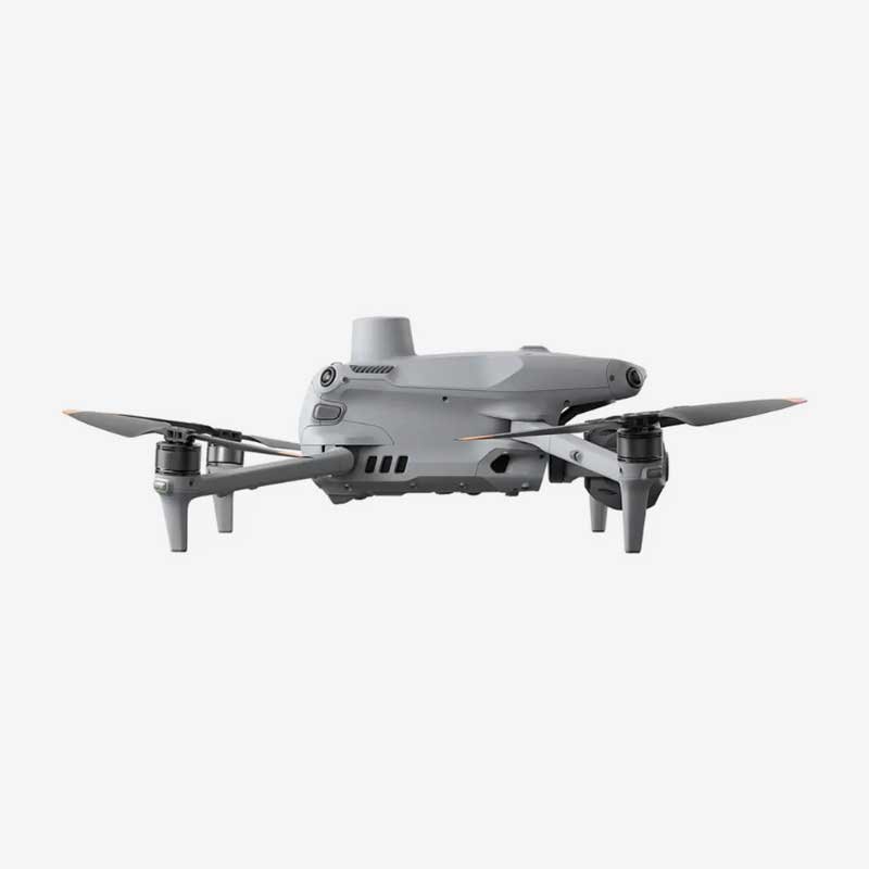
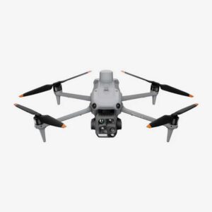
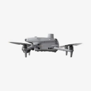
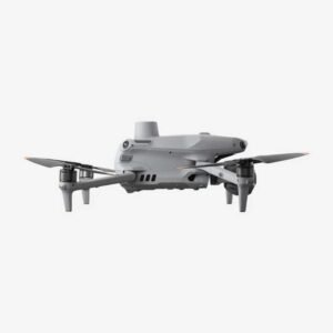
DJI Matrice 4T – Next-Level Aerial Power with Thermal Vision, Long Flight Time, and Tactical Precision
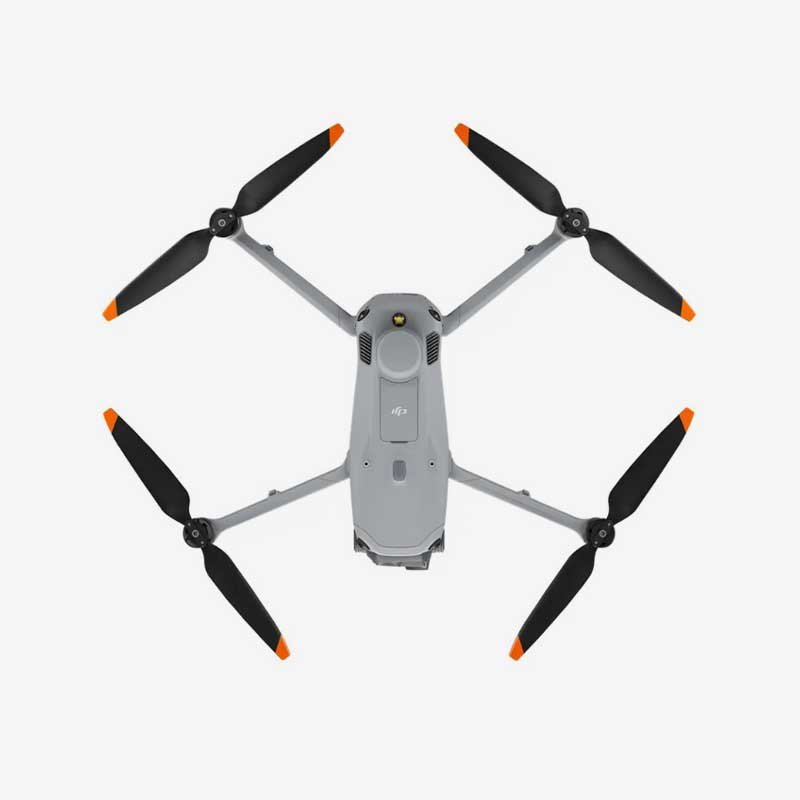
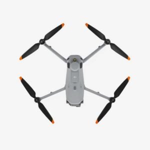
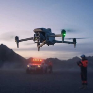
The DJI Matrice 4T is a next-generation enterprise drone engineered for industrial inspection, public safety, surveying, and mapping operations that demand precision, endurance, and reliability. Weighing just 1229 g with low-noise propellers, this compact yet powerful aircraft delivers an impressive flight time of up to 49 minutes and a maximum flight distance of 35 km, allowing operators to cover large areas in a single mission without frequent battery swaps.
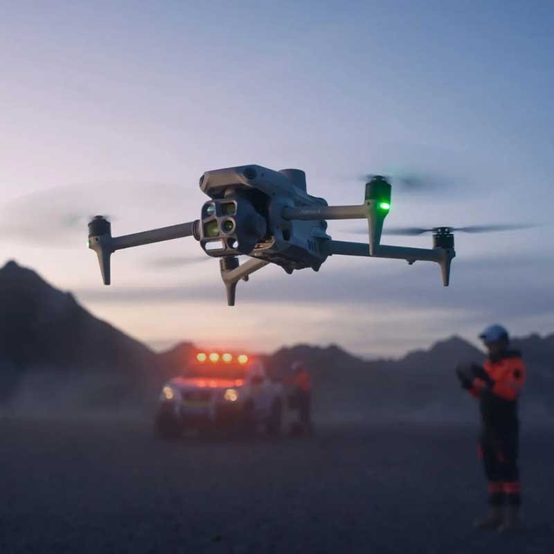
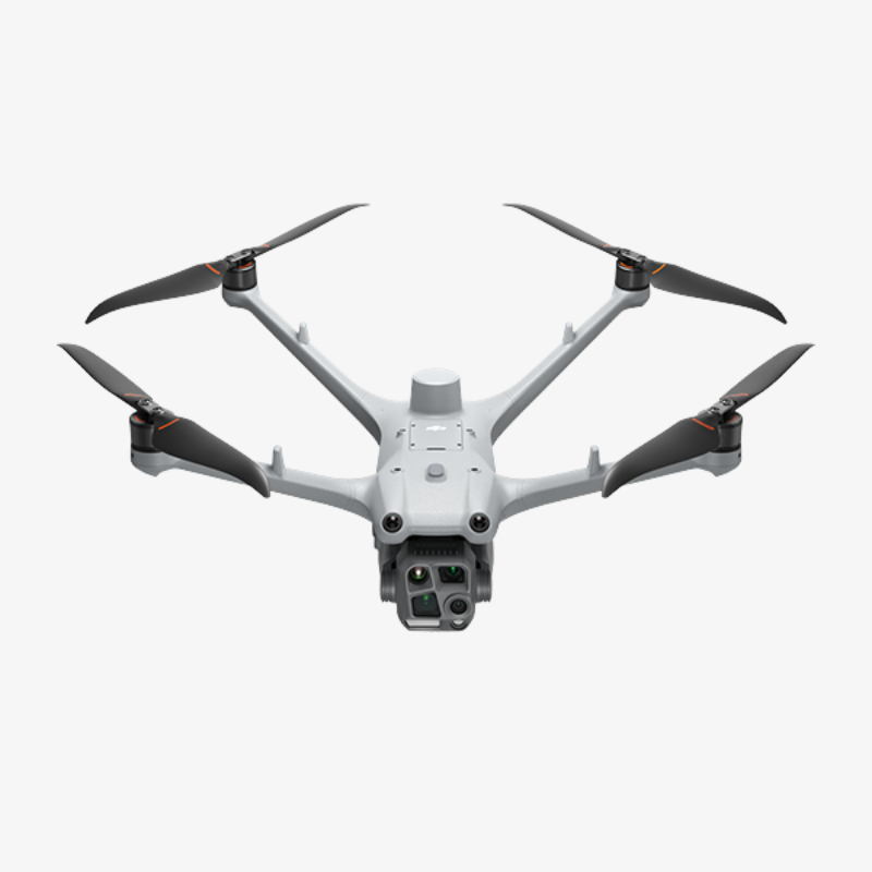
At the heart of the Matrice 4T is a versatile triple-camera system featuring wide, medium-tele, and telephoto lenses, each equipped with a 48 MP 1/1.3″ or 1/1.5″ CMOS sensor. Combined with 16x optical zoom and up to 112x hybrid zoom, operators can capture extremely detailed imagery from a safe distance. The integrated thermal camera offers a 640×512 resolution at 30Hz with 12μm pixel pitch and thermal sensitivity of ≤50mK@F1.0, enabling accurate temperature measurement from -20°C to 550°C. This makes the drone ideal for thermal inspections, search and rescue, firefighting support, and power line diagnostics.
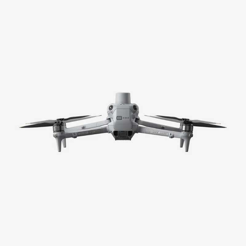
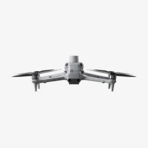
The built-in laser rangefinder reaches up to 1800 m, providing precise distance measurement for mapping and surveying tasks. A 3-axis mechanical gimbal ensures stable, blur-free footage even in challenging wind conditions of up to 12 m/s. Safety is reinforced through omnidirectional obstacle sensing that combines binocular vision with 3D infrared sensors, allowing the drone to detect and avoid obstacles from every direction during flight.
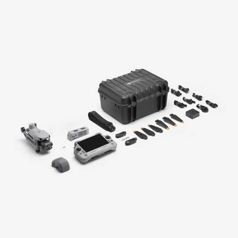
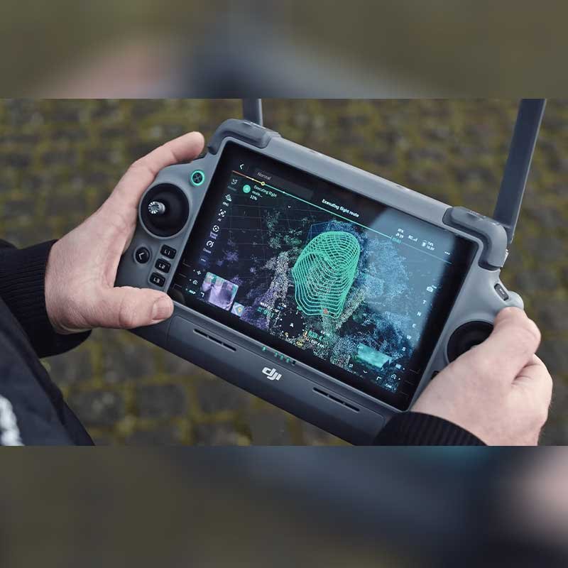
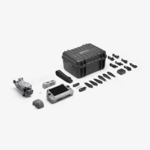
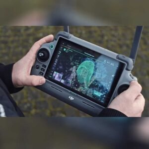
Operators benefit from the DJI RC Plus 2 controller, featuring a bright 7.02-inch, 1400-nit display for clear visibility even under direct sunlight. The 100W charging hub supports sequential charging of up to four batteries, minimizing downtime between missions. With support for accessories like the AL1 Spotlight and AS1 Speaker through a quick-mount system, the Matrice 4T can be customized for night operations, public announcements, and specialized enterprise applications.
Built to perform in demanding environments, the Matrice 4T operates reliably between -10°C and 40°C and can fly at altitudes up to 6000 m. Its rugged design, combined with RTK-enabled GNSS positioning for centimeter-level accuracy, makes it a dependable tool for professionals who require consistent, mission-critical results in surveying, construction monitoring, energy inspection, and emergency response.
Why Choose the DJI Matrice 4T?
- Extended Endurance: Up to 49 minutes of flight time and 35 km range for covering large sites in fewer missions.
- Advanced Thermal Imaging: High-sensitivity 640×512 thermal sensor for precise temperature detection up to 550°C.
- Triple-Camera Versatility: Wide, medium-tele, and telephoto lenses with up to 112x hybrid zoom for detailed, long-range imaging.
- Centimeter-Level Accuracy: RTK-enabled GNSS ensures highly accurate positioning for mapping and surveying.
- All-Round Safety: Omnidirectional obstacle sensing keeps the aircraft protected in complex environments.
- Enterprise-Ready Ecosystem: Compatible with AL1 Spotlight, AS1 Speaker, and PSDK accessories for mission-specific customization.
- Reliable in Harsh Conditions: Operates in temperatures from -10°C to 40°C and winds up to 12 m/s.
Aircraft
| Category | Specification |
|---|---|
| Takeoff Weight (with propellers) | 1219 g* |
| Takeoff Weight (with Low-Noise propellers) | 1229 g* |
| Max Takeoff Weight | Standard Propellers: 1420 g Low-Noise Propellers: 1430 g |
| Dimensions | Folded: 260.6×113.7×138.4 mm (L×W×H) Unfolded: 307.0×387.5×149.5 mm (L×W×H) <small>Maximum dimensions excluding propellers</small> |
| Max Payload | 200 g |
| Propeller Size | 10.8 in |
| Diagonal Wheelbase | 438.8 mm |
| Max Ascent Speed | 10 m/s |
| Max Ascent Speed With Accessories | 6 m/s |
| Max Descent Speed | 8 m/s |
| Max Descent Speed With Accessories | 6 m/s |
| Max Horizontal Speed (no wind) | 21 m/s <small>21 m/s forward, 18 m/s backward, 19 m/s sideways*</small> <small>* No faster than 19 m/s in Sport mode in EU regions.</small> |
| Max Altitude | 6000 m |
| Max Operating Altitude with Payload | 4000 m |
| Max Flight Time (no wind) | 49 min (standard propellers) 46 min (low-noise propellers) |
| Max Hover Time (no wind) | 42 min (standard propellers) 39 min (low-noise propellers) |
| Max Flight Distance (no wind) | 35 km (standard propellers) 32 km (low-noise propellers) |
| Max Wind Resistance | 12 m/s* <small>* During takeoff and landing</small> |
| Max Pitch Angle | 35° |
| Operating Temperature | -10℃ to 40℃ (14°F to 104°F) |
| GNSS | GPS + Galileo + BeiDou + GLONASS* <small>* GLONASS is available only with RTK module enabled</small> |
| Hovering Accuracy (windless/breezy) | ±0.1 m (Vision System) ±0.5 m (GNSS) ±0.1 m (RTK) |
| RTK GNSS Accuracy | RTK Fix: 1 cm + 1 ppm (horizontal) 1.5 cm + 1 ppm (vertical) |
| Internal Storage | N/A |
| Ports | E-Port × 1: Supports DJI/third-party PSDK devices (no hot-swapping) E-Port Lite × 1: Supports USB connection to DJI tuning software and some third-party devices |
| Propeller Models | 1157F (standard) 1154F (low noise) |
| Beacon | Built into the aircraft |
Camera
| Category | Specification (Matrice 4T) |
|---|---|
| Image Sensor | Wide: 1/1.3″ CMOS, 48 MP Medium Tele: 1/1.3″ CMOS, 48 MP Telephoto: 1/1.5″ CMOS, 48 MP |
| Lens – Wide | FOV: 82° Equivalent Focal Length: 24 mm Aperture: f/1.7 Focus: 1 m to ∞ |
| Lens – Medium Tele | FOV: 35° Equivalent Focal Length: 70 mm Aperture: f/2.8 Focus: 3 m to ∞ |
| Lens – Telephoto | FOV: 15° Equivalent Focal Length: 168 mm Aperture: f/2.8 Focus: 3 m to ∞ |
| ISO Range | Normal Mode: ISO 100 to 25600 Night Scene Mode: Wide: ISO 100 to 409600 Medium Tele: ISO 100 to 409600 Tele: ISO 100 to 819200 |
| Shutter Speed | 2–1/8000 s |
| Max Photo Resolution | Wide: 8064 × 6048 Medium Tele: 8064 × 6048 Telephoto: 8192 × 6144 |
| Minimum Photo Interval | 0.7 s |
| Still Photography Modes | Wide: – Single: 12 MP / 48 MP – Interval: 12 MP / 48 MP – JPEG Intervals: 0.7 / 1 / 2 / 3 / 5 / 7 / 10 / 15 / 20 / 30 / 60 s – Smart Shooting: 12 MP – Panorama: 12 MP (raw), 100 MP (stitched) Medium Tele: – Single: 12 MP / 48 MP – Interval: 12 MP / 48 MP – JPEG Intervals: same as above – Smart Shooting: 12 MP Telephoto: – Single: 12 MP / 48 MP – Interval: 12 MP / 48 MP – JPEG Intervals: same as above – Smart Shooting: 12 MP |
| Video Codec and Resolution | Format: H.264 / H.265 Strategy: CBR, VBR Resolutions: 4K: 3840 × 2160 @30fps FHD: 1920 × 1080 @30fps |
| Max Video Bitrate | H.264: 60 Mbps H.265: 40 Mbps |
| Photo Format | JPEG |
| Video Format | MP4 (MPEG-4 AVC/H.264) |
| Digital Zoom (Telephoto) | 16× optical, up to 112× hybrid zoom |
| Supported File System | exFAT |
NIR Auxiliary Light
| Component | Specification |
|---|---|
| Infrared Illumination | Yes |
| FOV | 5.7° ± 0.3° |
Laser Module
| Component | Specification |
|---|---|
| Laser Rangefinding | |
| Measurement Range | 1800 m (1 Hz) @ 20% reflectivity target* |
| Oblique Incidence Range (1:5 Oblique Distance) | 600 m (1 Hz) |
| Blind Zone | 1 m |
| Distance Measurement Accuracy | 1–3 m: System Error < 0.3 m, Random Error < 0.1 m @1σ Other Distances: ±(0.2 + 0.0015D), where D = distance in meters |
| Note | *Performance degradation may occur in rainy or foggy conditions |
Infrared Thermal Camera
| Component | Specification |
|---|---|
| Thermal Imager Type | Uncooled Vanadium Oxide (VOx) |
| Warning | Do NOT expose the infrared camera lens to intense energy sources (sun, lava, lasers), or permanent sensor damage may occur. |
| Resolution | 640 × 512 |
| Pixel Pitch | 12 μm |
| Frame Rate | 30 Hz |
| Lens | DFOV: 45° ± 0.3° Focal Length: 53 mm equivalent Aperture: f/1.0 Focus: 5 m to ∞ |
| Sensitivity (NETD) | ≤50 mk @ f/1.0 |
| Temperature Measurement Method | Spot Meter, Area Measurement |
| Temperature Measurement Range | High Gain: -20℃ to 150℃ (-4°F to 302°F) Low Gain: 0℃ to 550℃ (32°F to 1022°F) |
| Palettes | White Hot, Black Hot, Tint, Iron Red, Hot Iron, Arctic, Medical, Fulgurite, Rainbow 1, Rainbow 2 |
| Photo Format | JPEG (8-bit), R-JPEG (16-bit) |
| Video Resolution | 1280 × 1024 @ 30fps (Super Resolution On, Night Mode Off) 640 × 512 @ 30fps (All other conditions) |
| Video Bitrate | H.264: 6.5 Mbps (640×512), 12 Mbps (1280×1024) H.265: 5 Mbps (640×512), 8 Mbps (1280×1024) |
| Video Format | MP4 |
| Still Photography Modes | Single & Interval Shots: 1280×1024 / 640×512 Interval Timings: 0.7 / 1 / 2 / 3 / 5 / 7 / 10 / 15 / 20 / 30 / 60 seconds |
| Photo Resolution | 1280 × 1024 (with Super Resolution) 640 × 512 (without Super Resolution) |
| Digital Zoom | 28x |
| Infrared Wavelength | 8 μm to 14 μm |
| Temperature Measurement Accuracy | High Gain: ±2℃ or ±2% (whichever is greater) Low Gain: ±5℃ or ±3% (whichever is greater) |
Gimbal
| Component | Specification |
|---|---|
| Stabilization System | 3-axis (tilt, roll, pan) |
| Gimbal Mechanical Limits | Tilt: -140° to 113° Roll: -52° to 52° Pan: -65° to 65° |
| Soft Limits | Tilt: -90° to 35° Roll: -47° to 47° Pan: -60° to 60° |
| Controllable Rotation Range | Tilt: -90° to 35° Pan: Not controllable |
| Max Control Speed (Tilt) | 100°/s |
| Angular Vibration Range | ±0.007° |
| Yaw Axis | Manual operation: Not controllable MSDK interface: Controllable |
| Ingress Protection Rating | No standard protection level |
| Operating Temperature | -10°C to 40°C (14°F to 104°F) |
Sensing
| Section | Specification |
|---|---|
| Sensing Type | Omnidirectional binocular vision system, with a 3D infrared sensor at the bottom |
| Forward | Binocular Measurement Range: 0.4–22.5 m Obstacle Detection Range: 0.4–200 m Obstacle Avoidance Speed: ≤21 m/s FOV: 90° (H), 135° (V) |
| Backward | Binocular Measurement Range: 0.4–22.5 m Obstacle Detection Range: 0.4–200 m Obstacle Avoidance Speed: ≤21 m/s FOV: 90° (H), 135° (V) |
| Lateral (Left/Right) | Measurement Range: 0.5–32 m Obstacle Detection Range: 0.5–200 m Obstacle Avoidance Speed: ≤21 m/s FOV: 90° (H), 90° (V) |
| Downward | Measurement Range: 0.3–18.8 m Obstacle Avoidance Speed: ≤10 m/s FOV: 160° (front/rear), 160° (left/right) |
| Operating Environment (Forward, Backward, Left, Right, Upward) | Surface with detailed texture, adequate lighting |
| Operating Environment (Downward) | Ground with rich texture, diffuse reflective surface with reflectivity >20% (e.g., walls, trees, people) Lighting should be no less than nighttime city illumination level |
Video Transmission
| Category | Specification |
|---|---|
| Video Transmission System | O4 Enterprise |
| Live View Quality | 1080p/30fps (Remote Controller) |
| Operating Frequency | 2.400–2.4835 GHz 5.725–5.850 GHz 5.150–5.250 GHz (CE) |
| Transmitter Power (EIRP) | 2.4 GHz: ≤33 dBm (FCC), ≤20 dBm (CE/SRRC/MIC) 5.8 GHz: <33 dBm (FCC), <30 dBm (SRRC), <14 dBm (CE) 5.15–5.25 GHz: <23 dBm (FCC/CE) |
| Max Transmission Distance (Unobstructed, No Interference) | 25 km (FCC) 12 km (CE) 12 km (SRRC) 12 km (MIC) |
| Max Transmission Distance (With Interference) | Strong Interference (City Centers): ~1.5–5 km Medium Interference (Suburban): ~5–15 km Micro Interference (Seaside/Suburbs): ~15–25 km |
| Max Download Speed | 20 MB/s |
| Latency | 130 ms (Under near-field, interference-free condition, using 1x lens) |
| Antenna | 8 antennas, 2T4R |
| Others | Cellular Dongle Compartment |
Memory Card
| Category | Specification / Recommended Models |
|---|---|
| Supported SD Cards | U3 / Class 10 / V30 or above is required Or use a memory card from the recommended list |
| Recommended microSD Cards | – Lexar 1066x 64GB U3 A2 V30 microSDXC – Lexar 1066x 128GB U3 A2 V30 microSDXC – Lexar 1066x 256GB U3 A2 V30 microSDXC – Lexar 1066x 512GB U3 A2 V30 microSDXC – Kingston Canvas GO! Plus 64GB U3 A2 V30 microSDXC – Kingston Canvas GO! Plus 128GB U3 A2 V30 microSDXC – Kingston Canvas GO! Plus 256GB U3 A2 V30 microSDXC – Kingston Canvas GO! Plus 512GB U3 A2 V30 microSDXC |
Intelligent Flight Battery
| Category | Specification |
|---|---|
| Capacity | 6741 mAh |
| Standard Voltage | 14.76 V |
| Max Charging Voltage | 17.0 V |
| Cell Type | Li-ion 4S |
| Energy | 99.5 Wh |
| Weight | 401 g |
| Recharging Temperature | 5°C to 40°C (41°F to 104°F) |
| Discharge Rate | 4C |
| Max Charging Power | 1.8C |
| Supports Low-Temp Charging | Not supported |
| Cycle Count | 200 |
Power Adapter (100W)
| Category | Specification |
|---|---|
| Input | 100-240 V (AC), 50-60 Hz, 2.5 A |
| Output | Max. 100 W (total) When both ports are used, the max output power of one port is 82 W, and the charger dynamically allocates power based on load |
| Rated Power | 100 W |
Charging Hub
| Category | Specification |
|---|---|
| Input | USB-C: 5–20 V, max 5 A |
| Output | Battery Interface: 11.2 V to 17 V |
| Rated Power | 100 W |
| Recharging Type | Charges 4 batteries in sequence |
| Supported Modes | Standard Mode (100% SOC), Standby Mode (90% SOC) |
| Compatible Battery | DJI Matrice 4E/T Series Intelligent Flight Battery |
| Charging Temperature | 5°C to 40°C (41°F to 104°F) |
DJI RC Plus 2 Enterprise
| Category | Specification |
|---|---|
| Video Transmission System | O4 Enterprise |
| Max Transmission Distance | 25 km (FCC), 12 km (CE/SRRC/MIC) |
| Transmission Notes | Measured in unobstructed, interference-free environments. One-way, non-return flights. Always monitor RTH warnings in DJI Pilot 2. |
| Operating Band (Image Transmission) | 2.4000–2.4835 GHz, 5.725–5.850 GHz, 5.1 GHz (receive only) |
| Antenna | 2T4R, built-in multi-beam high-gain antenna |
| Transmission Power (EIRP) | 2.4 GHz: <33 dBm (FCC), <20 dBm (CE/SRRC/MIC) 5.1 GHz: <23 dBm (CE) 5.8 GHz: <33 dBm (FCC), <14 dBm (CE), <30 dBm (SRRC) |
| 4G Transmission | DJI Cellular Dongle 2 |
| Wi-Fi Protocol | Wi-Fi Direct, Wireless Display, IEEE 802.11a/b/g/n/ac/ax; 2×2 MIMO; Dual Band Simultaneous (DBS); up to 1774.5 Mbps |
| Wi-Fi Operating Bands | 2.4000–2.4835 GHz, 5.150–5.250 GHz, 5.725–5.850 GHz |
| Wi-Fi Transmitter Power (EIRP) | 2.4 GHz: <26 dBm (FCC), <20 dBm (CE/SRRC/MIC) 5.1 GHz: <23 dBm (FCC) 5.8 GHz: <23 dBm (FCC/SRRC), <14 dBm (CE) |
| Bluetooth Protocol | Bluetooth 5.2 |
| Bluetooth Frequency | 2.400–2.4835 GHz |
| Bluetooth Transmitter Power | <10 dBm |
| Screen Resolution | 1920 × 1200 |
| Screen Size | 7.02 inches |
| Screen Frame Rate | 60 fps |
| Brightness | 1400 nits |
| Touchscreen Control | 10-point multi-touch |
| Built-in Battery | 2S2P 18650 Li-ion, 6500 mAh @ 7.2 V, 46.8 Wh |
| External Battery | Optional WB37, 4920 mAh @ 7.6 V, 37 Wh |
| Charging Type | PD fast charging (up to 20V/3.25A), USB-C |
| Storage Capacity | 128 GB ROM + microSD card support |
| Charging Time | 2 hrs for internal or combined battery when RC is off |
| Internal Battery Runtime | 3.8 hrs |
| External Battery Runtime | 3.2 hrs |
| Output Port | HDMI 1.4 |
| Indicators | Status, power, and permission lights (adjustable brightness) |
| Speaker | Buzzer supported |
| Audio | Array microphone |
| Operating Temperature | -20°C to 50°C |
| Storage Temperature | 1 month: -30°C to 45°C 1–3 months: -30°C to 35°C 3–12 months: -30°C to 30°C |
| Recharging Temperature | 5°C to 40°C |
| Supported Aircraft | Matrice 4T / 4E |
| GNSS | GPS, Galileo, BeiDou – supports dynamic Home Point refresh |
| Dimensions | 268 × 163 × 94.5 mm (L × W × H), incl. antenna folded and handles |
| Weight | 1.15 kg (without external battery) |
| Model | TKPL 2 |
| System Version | Android 11 |
| External Interfaces | HDMI 1.4, SD3.0, USB-C (OTG & PD 65W), USB-A (USB 2.0) |
| Accessories | Optional strap/waist support |
AL1 Spotlight
| Parameter | Details |
|---|---|
| Weight | 99 g (including bracket) Approx. 91 g (excluding bracket) |
| Dimensions | 95 × 164 × 30 mm (with bracket) 79 × 164 × 28 mm (without bracket) |
| Max. Power | 32 W |
| Illuminance | 4.3 ± 0.2 lux @ 100 meters 17 ± 0.2 lux @ 50 meters |
| Illumination Angle | 23° (10% relative illumination) |
| Effective Illumination Area | 1,300 m² @ 100 m (Normal Mode) 2,200 m² @ 100 m (Wide FOV Mode) |
| Operating Modes | Always-on mode and strobe mode |
| Gimbal Tilt Range | Structural: -140° to 50° Controllable: -90° to 35° |
| Max Control Speed (Tilt) | 120°/s |
| Gimbal Alignment Accuracy | ±0.1° |
| Operating Temperature | -20°C to 50°C (-4°F to 122°F) |
| Mounting | Quick-release hand-tightened screws |
| Note | Data measured at 25°C in lab with spotlight installed separately |
AS1 Speaker
| Parameter | Details |
|---|---|
| Weight | 92.5 g (including bracket) Approx. 90 g (excluding bracket) |
| Dimensions | 73 × 70 × 52 mm (with bracket) 73 × 70 × 47 mm (without bracket) |
| Max. Power | 15 W |
| Max. Volume | 114 dB @ 1 meter |
| Effective Broadcast Distance | 300 meters |
| Broadcast Modes | – Real-time broadcasting (with echo suppression*) – Recorded broadcasting – Media import (simultaneous transmission and playback) – Text-to-speech (supports Chinese & English)** |
| Operating Temperature | -20°C to 50°C (-4°F to 122°F) |
| Mounting | Quick-release hand-tightened screws |
| Note | *Firmware upgrade required for echo suppression **TTS supports only Chinese & English |
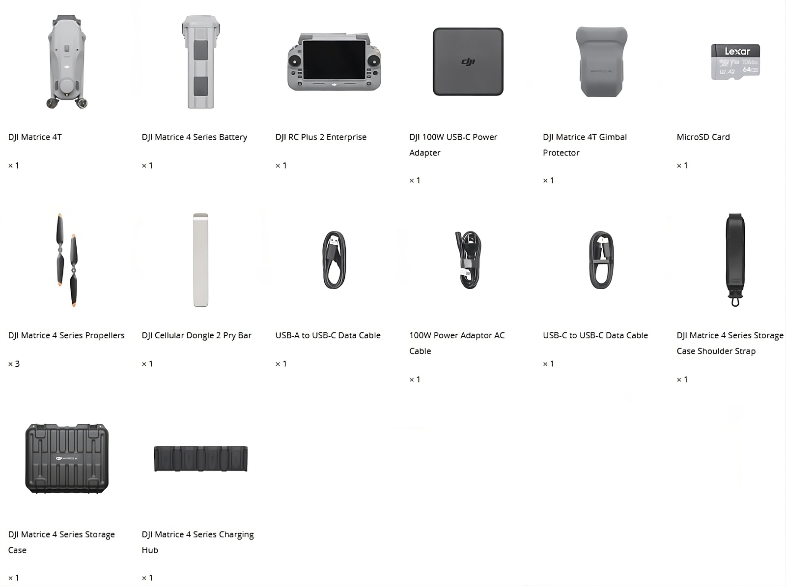
What is the thermal camera resolution on the Matrice 4T?
The Matrice 4T is equipped with a 640×512 thermal camera operating at 30Hz with a 12μm pixel pitch, offering thermal sensitivity of ≤50mK@F1.0 and a temperature measurement range of -20°C to 550°C.
What is the maximum range of the laser rangefinder?
The built-in laser rangefinder can measure distances of up to 1800 m, making it highly effective for surveying and mapping applications.
Does the Matrice 4T support obstacle avoidance?
Yes, it features omnidirectional obstacle sensing using binocular vision combined with 3D infrared sensors, allowing safe navigation around obstacles from all directions.
What zoom capabilities does the Matrice 4T offer?
It offers 16x optical zoom along with up to 112x hybrid zoom on the visual camera, and 28x zoom on the thermal camera, enabling detailed imaging from a safe distance.
What controller is used with the DJI Matrice 4T?
The Matrice 4T pairs with the DJI RC Plus 2 controller, which features a 7.02-inch display with 1400-nit brightness for clear visibility in bright outdoor conditions.
Can the Matrice 4T operate in extreme weather conditions?
Yes, it is rated to operate in temperatures ranging from -10°C to 40°C and can withstand wind resistance of up to 12 m/s during takeoff and landing.
Be the first to review “DJI Matrice 4T”
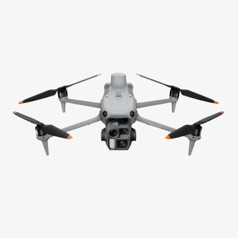
DJI Matrice 4E
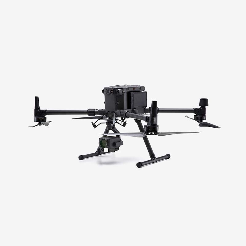
Matrice 300 RTK
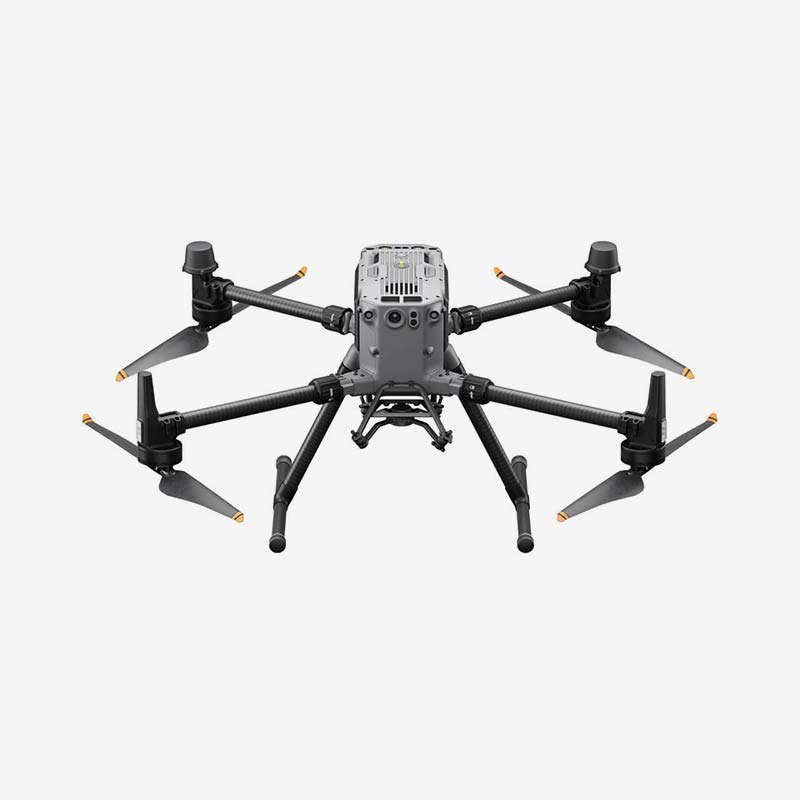
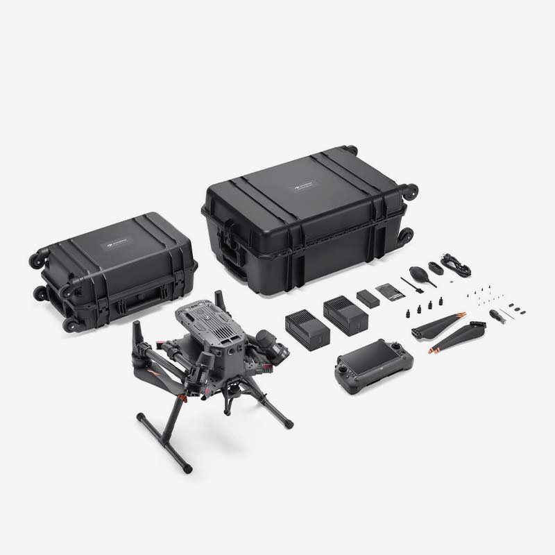
Matrice 350 RTK



Reviews
There are no reviews yet.